
Gerrymandering Explained
Greek Mythology
Some political tricks are loud: a speech, a scandal, a late-night vote. Gerrymandering is quieter. It happens with rulers, spreadsheets, and a kind of elegant ruthlessness that would have made certain Olympians nod appreciatively. You do not need to change a single ballot to change an election. You only need to change the shape of the battlefield.
Gerrymandering is the manipulation of electoral district boundaries to advantage a party, a politician, or a group. Much of redistricting itself is legal and required. Some line-drawing practices become illegal depending on their purpose, their effects, and the laws and courts reviewing them. Either way, it is always consequential because it determines who gets to choose representatives, and who mostly gets to watch from the margins.

What it is
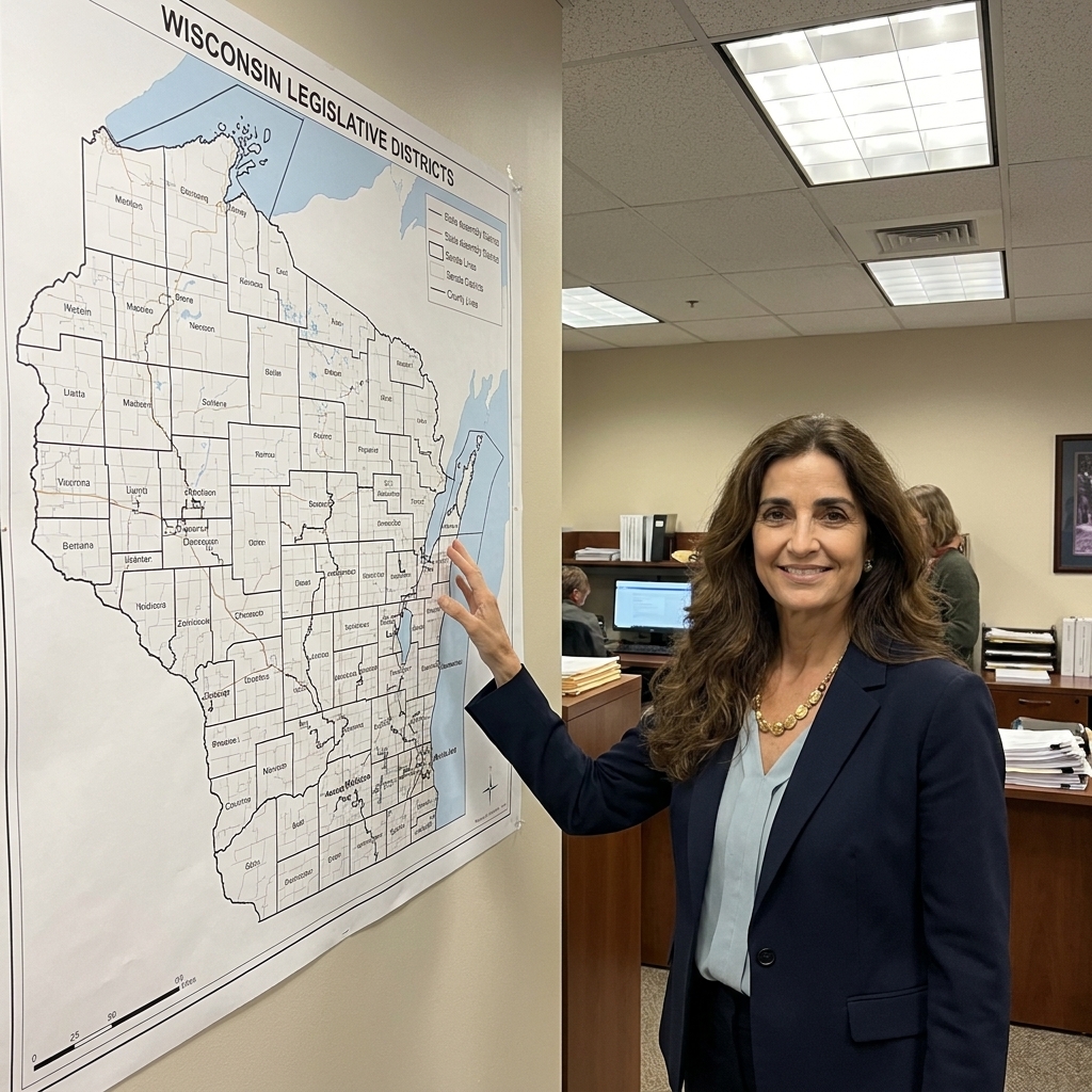
In the United States, most voters elect members of Congress and many state and local officials through single-member districts. That means a state, county, or city is divided into geographic districts, and each district elects one representative. (Some state legislatures use multi-member districts in certain places or cycles, but single-member districts are the norm.)
District lines are typically redrawn every ten years after the census, a process called redistricting. They can also be redrawn mid-decade because of court orders, legal settlements, or political decisions.
Gerrymandering happens when those new lines are drawn to skew outcomes rather than reflect communities, often in ways that can be measured even when intent is hard to prove. The name comes from Massachusetts Governor Elbridge Gerry and a salamander-shaped district drawn in 1812. The word stuck because the impulse stuck.
Redistricting vs gerrymandering
- Redistricting: the required, regular process of updating district boundaries to reflect population changes and legal rules.
- Gerrymandering: redistricting engineered to create an unfair advantage, usually partisan, sometimes racial, and often both.
How it works
If you strip away the jargon, the core tactics are simple. Mapmakers either pack opposing voters into a few districts or crack them across many districts so they cannot form a majority anywhere.
Packing
Packing concentrates the other side’s voters into a small number of districts they will win by enormous margins. Those voters still elect someone, but their extra votes become politically wasted because they could have helped in neighboring districts.
Cracking
Cracking splits a group across multiple districts so they fall just short of influence in each one. It is the cartographic version of isolating voices so they never quite sing in chorus.
A quick example
Imagine a state with 10 districts where Party A regularly wins about 60% of the vote statewide and Party B wins about 40%. With reasonably fair lines, you might expect something like a 6 to 4 split most years (not as a guarantee, just as a rough translation). If Party A draws the map and packs Party B into a couple of districts they win 80 to 20, Party A can sometimes turn that same statewide 60 to 40 into an 8 to 2 seat advantage, simply by deciding where the majorities live on paper.
Other tactics
Modern gerrymandering is not only about obvious squiggles. Clean-looking maps can still be engineered to tilt power. Here are a few strategies discussed by redistricting analysts, some of them more colloquial than formal.
- "Bleaching" (as some commentators call it): reducing a district’s minority population just enough to weaken its ability to elect preferred candidates, while claiming the district is still diverse.
- "Kidnapping" (consultant shorthand): redrawing lines to move an incumbent’s home into a different district, forcing them into a tougher race.
- "Hijacking" (consultant shorthand): placing two incumbents into the same district so one is likely eliminated.
- Shoring up: adjusting boundaries to make competitive districts safer by adding supportive voters and trimming opponents.
The tools have evolved too. Where past mapmakers needed intuition and local knowledge, modern mapmakers use GIS (Geographic Information Systems), granular census block data, and massive computing power to test and refine plans. They can run thousands of simulations, checking how tiny boundary shifts change partisan outcomes, compliance risks, and incumbent safety. It is less oracular mystery, more cold probability.
Why it matters
District lines shape who has power long before Election Day. When maps are heavily engineered, elections can become less competitive and representatives can become less responsive. And even without intentional gerrymandering, single-member districts plus geographic clustering can produce skewed outcomes. A manipulated map can push that natural tilt into a hard lock.
Major effects
- More safe seats, fewer competitive races. Many elections are effectively decided in primaries, where turnout is lower and voters are more ideologically intense.
- Policy distortion. A party can win a majority of seats with less than a majority of votes statewide, especially when voters are unevenly distributed. Gerrymandering can amplify the gap and make it persist across election cycles.
- Lower accountability. If your seat is nearly guaranteed, you have less incentive to compromise or respond to broad public opinion.
- Community fragmentation. Neighborhoods, cities, school communities, and shared-interest communities can be split for strategic reasons, weakening their collective voice.
In myth, borders are never neutral. Rivers choose favorites. Gates decide who enters. Maps, too, can act like gods: shaping fate while pretending to be mere scenery.
Is it illegal?
Sometimes. Often, it depends on what kind and which court. In the United States, gerrymandering fights most often fall into two categories: racial and partisan. Separate from those, redistricting is also constrained by baseline rules like equal population requirements (often summarized as "one person, one vote") and, in many states, requirements such as contiguity and compactness.
Racial claims
Racial gerrymandering can violate the U.S. Constitution (often under Equal Protection) and the Voting Rights Act. A related and common claim is VRA Section 2 vote dilution, which focuses on whether district lines, in context, weaken minority voters’ ability to elect candidates of choice. Courts have repeatedly recognized these racial and vote dilution claims as justiciable, meaning courts can hear them and sometimes strike maps down.
Partisan claims
Partisan gerrymandering is harder in federal court. In Rucho v. Common Cause (2019), the U.S. Supreme Court held that claims of partisan gerrymandering present political questions beyond the reach of federal courts. That did not bless partisan gerrymandering as fair. It largely moved many of these battles to state courts, state constitutions, and the political process. Congress also has authority to regulate certain aspects of congressional elections, so the legal landscape is not frozen in amber.
So the answer is not a clean yes or no. It is a labyrinth with different doors depending on race, partisanship, and jurisdiction.
How to spot it
You do not need to be a data scientist to feel when something is off. Still, the most convincing arguments combine visuals with numbers. Here are practical signs people look for.
Visual red flags
- Highly irregular shapes that snake around neighborhoods to grab or avoid specific voters.
- Split communities, where a city, neighborhood, or school community is carved into multiple districts without a clear geographic reason.
- Districts that connect distant areas with a thin corridor, especially when communities in between are bypassed.
Data red flags
- Seat share persistently out of line with vote share across multiple elections, not just one unusual year.
- Lots of landslide wins for one party, suggesting packing, cracking, or both.
- Asymmetry: one party can convert votes into seats much more efficiently than the other.
Analysts use measures like the efficiency gap, mean-median difference, and partisan bias to quantify these patterns. No single metric is a perfect oracle, but together they can expose engineering hiding behind tidy talking points.
Common myths
"It is only about weird shapes."
Not always. Compact, visually pleasing districts can still be gerrymandered if they systematically dilute certain voters. Shape is a clue, not a verdict.
"It is unavoidable because people cluster in cities."
Political geography matters. When one party’s voters are heavily concentrated in urban areas, seat outcomes can skew even with neutral maps. But intentional gerrymandering can dramatically intensify that effect beyond what geography alone would produce.
"Both sides do it, so it cancels out."
It does not cancel out for voters living under a particular map, in a particular place, in a particular decade. The impact is local, immediate, and often lopsided depending on who controls the pen when lines are drawn.
Who draws maps?
This varies by state and office. The mapmaker is often the plot twist.
- State legislatures: in many states, lawmakers draw congressional, state legislative, and sometimes local maps, subject to the governor’s veto in some cases.
- Independent or bipartisan commissions: some states use commissions designed to reduce direct partisan control.
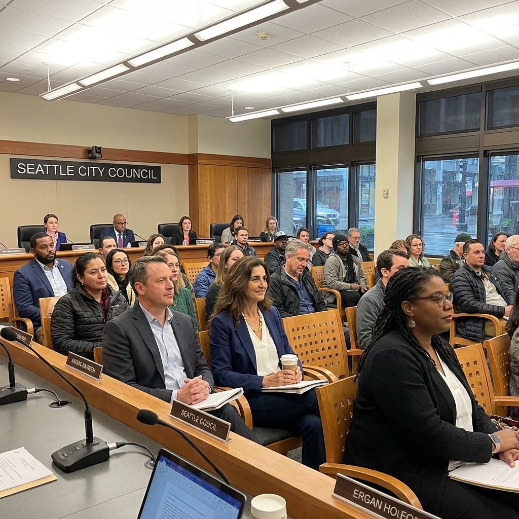
- Local governments: cities, counties, and school districts often redraw their own ward or trustee lines, sometimes under state oversight.
- Court-drawn maps: when legislatures deadlock or maps are struck down, courts can impose interim maps.
Control of a state legislature in a census year can echo for ten years. That is why redistricting cycles feel, to political strategists, like the opening scene of a long war.
What reforms help?
There is no single silver arrow, but several approaches have shown promise, especially when combined.
Commissions
Independent commissions can remove or reduce direct control by incumbent politicians. Design matters, though: how members are selected, what criteria they must follow, and how transparent the process is.
Clear rules
- Public hearings and draft maps available early.
- Rules to keep cities, counties, and communities of interest intact where possible.
- Limits on using partisan voting data in map drawing, depending on state law.
- Enforceable criteria such as contiguity and compactness, where state law provides them.
Voting system changes
Some reformers advocate for multi-member districts with proportional or ranked-choice methods, which can reduce the high-stakes power of line drawing. These systems are less common in U.S. congressional elections today and may require significant legal and political changes.
State court challenges
Because federal courts are limited on partisan gerrymandering claims, state constitutions and state courts have become a major arena for challenges, depending on each state’s legal standards.
How to engage
Gerrymandering can feel abstract until you see your own neighborhood sliced like sacrificial portions at a feast. If you want to pay attention in a practical way:
- Check your district and who represents you at the local, state, and federal level.
- Watch for redistricting hearings in your city, county, and state after the census or after court rulings.
- Read the criteria your state and local government must follow when drawing maps, and whether an independent commission exists.
- Support local journalism that tracks map proposals and litigation.
Myth taught the Greeks that fate loves a loophole. Democracy is not fate, but it can be bent by technicalities. Gerrymandering is one of the oldest ones in the book: write the borders, write the story.
Quick takeaway
Gerrymandering is the practice of drawing voting districts to predetermine power. It works mainly by packing and cracking voters, it can reduce competition and accountability, and it is policed unevenly depending on whether the gerrymander is racial or partisan. The best antidotes tend to be transparency, enforceable rules, and mapmaking structures that do not reward incumbents for picking their voters.