How Independent Redistricting Commissions Work
Greek Mythology
Redistricting is the ten-year ritual where lines on a map become power in the real world. After each census, states redraw congressional and state legislative districts to reflect population changes. This is the main rhythm, even though some states redraw mid-decade because of court orders, legal changes, or other disruptions. Done well, it is maintenance. Done badly, it becomes mythic in the oldest sense: a tale of ambition, manipulation, and ordinary people paying the price while the gods of politics feast.
Independent redistricting commissions are one attempt to lower the temperature and raise the integrity. They move map drawing away from lawmakers who benefit from the outcome and place it into the hands of a separate body that must follow written rules, hold public meetings, and, in many states, explain its choices.
This is not magic. It is process. And process, when designed well, can be a kind of civic protection spell.

What a commission is
An independent redistricting commission, sometimes shortened to IRC (though many states use other labels), is a state-created panel that draws new electoral district boundaries after the census. Depending on the state, it may draw:
- Congressional districts for the U.S. House of Representatives (states with a single House seat typically have only one at-large district and do not redraw congressional lines)
- State legislative districts for state senate and state house or assembly
- Sometimes both
Not every state uses an independent commission. Many still rely on the legislature, and some use advisory commissions whose maps can be accepted, revised, or replaced by lawmakers.
The defining idea is structural: commissioners are meant to be more insulated from direct partisan self-interest than legislators drawing their own seats. Some commissions are designed to be nonpartisan or bipartisan. Others are described as independent but still include partisan appointees with built-in balance rules.
Independence is not a vibe. It is a set of guardrails: who can serve, how they are selected, what criteria they must follow, and what transparency is required.
Why commissions exist
Legislators have an obvious conflict of interest when they draw the very districts they will later run in. That conflict is the soil where gerrymandering thrives.
Gerrymandering is the practice of drawing districts to advantage a party, protect incumbents, or weaken particular communities, often through tactics like:
- Packing: concentrating one group of voters into a small number of districts so their influence is intense but limited
- Cracking: splitting a group of voters across many districts so they are influential in none
Commissions are meant to reduce the incentive and the opportunity to do this, or at least to make it harder to do quietly. Public hearings, disclosure rules, and written criteria turn the mapmaking back into a public act rather than a backroom bargain.
How members are chosen
Selection is where commissions either earn their credibility or lose it. States use different models, but most rely on some combination of eligibility rules, applications, random selection, and balanced appointments.
Common eligibility rules
Many commissions restrict who can serve. Typical exclusions include:
- Current elected officials and sometimes recent former officials
- Party officers, lobbyists, and certain political staff
- Immediate family members of politicians
- People with substantial political consulting ties
The goal is not purity. The goal is to reduce direct conflicts and the appearance of them.
Common selection methods
- Application and screening: a pool of applicants is reviewed for qualifications and balance
- Random selection: some states use a lottery-style draw from eligible applicants
- Balanced appointment: partisan leaders may appoint members, often with rules to ensure representation from major parties and sometimes independents
- Mixed systems: a screened pool plus random draws plus final selections
Commission size varies. Many include an odd number of members with party balance requirements, such as equal numbers from the two major parties plus independents.
What rules they follow
A commission does not simply draw pretty shapes and call it democracy. It must follow legal and constitutional criteria. The exact list depends on the state, and states often set a specific order of priorities. That matters because criteria can collide, and the commission has to show which rule wins when they do.
Equal population
Districts must contain roughly the same number of people, especially for congressional districts where courts require very tight equality. State legislative districts usually have a bit more flexibility but still must be substantially equal.
Voting Rights Act compliance
Federal law, especially Section 2 of the Voting Rights Act, prohibits maps that unlawfully dilute minority voting strength. When specific, fact-specific legal conditions are met, that can mean a state must create or preserve districts that provide minority voters an equal opportunity to elect representatives of their choice. Commissions therefore have to consider how map choices affect minority voting power.
Contiguity
In many states, each district must be connected. No floating islands of voters cut off from the rest of their district unless the law allows special cases.
Compactness
Compactness asks whether a district is reasonably shaped rather than sprawling for strategic reasons. Compactness measures exist, but many states treat this as a general principle rather than a strict formula.
Respect for communities
Many states tell commissions to preserve:
- Political boundaries like counties, cities, and other local lines where possible
- Communities of interest, meaning people who share social, cultural, economic, or geographic ties and would benefit from being represented together
Communities of interest can be the most human part of the process and the most contested. Is a coastal fishing economy a community of interest? A university corridor? A neighborhood tied together by a single transit line? Usually, yes. The commission has to decide what stories a map is allowed to honor.
Partisanship rules, if any
Some commissions are expressly barred from favoring a party or an incumbent. Some are required to consider competitiveness. Others have weaker language. What matters is whether the rule is enforceable and how it interacts with other priorities like the Voting Rights Act.
How maps get drawn
Even when the details vary by state, most commission cycles follow a recognizable arc.
1) Data arrives after the census
States receive updated population counts and geographic data. Commissions may also gather election data where permitted, though some states restrict when and how it can be used. They often rely on GIS software to create and test draft maps.
2) Public education and outreach
Many commissions hold informational sessions explaining criteria, timelines, and how residents can submit feedback or map suggestions.
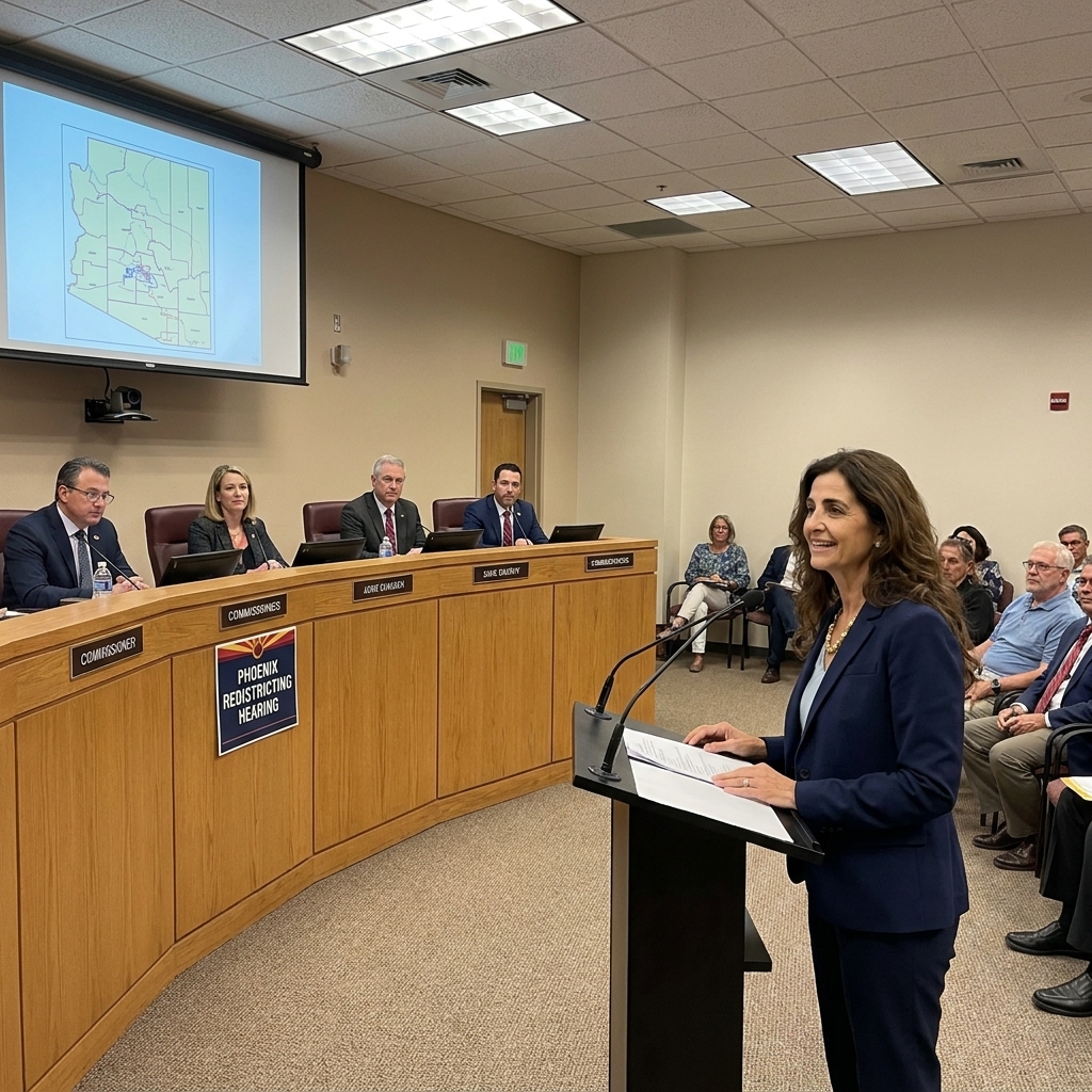
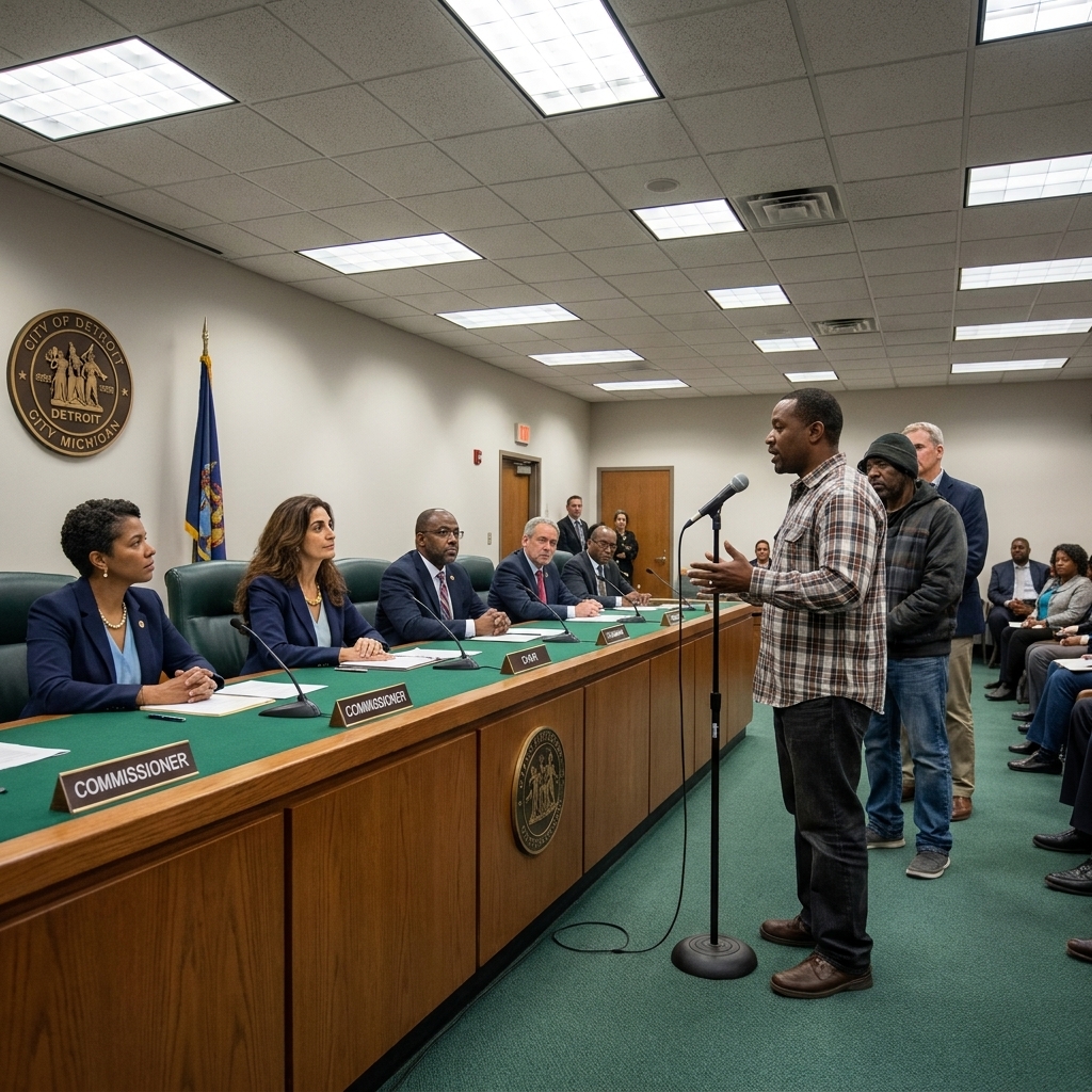
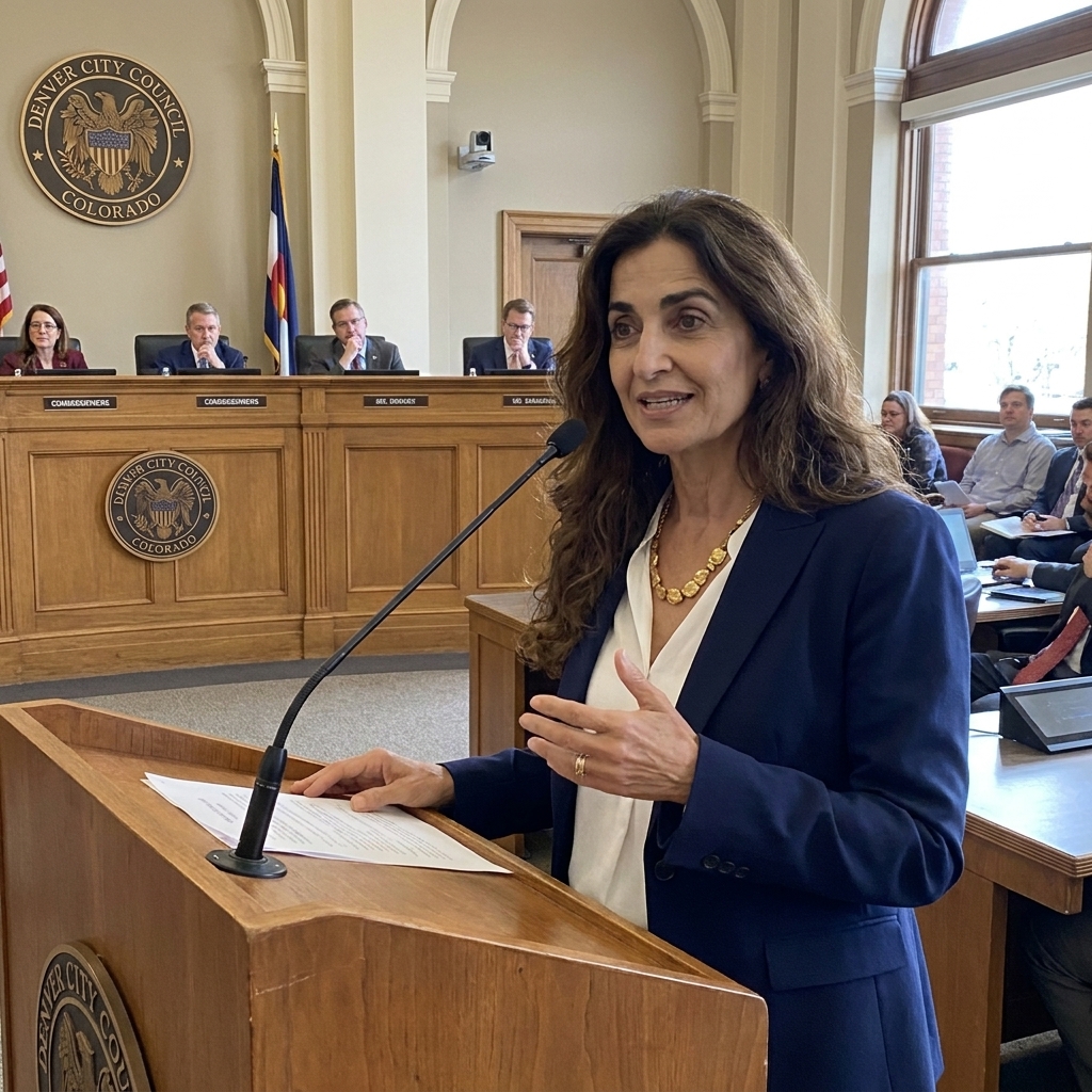
3) Public input and map submissions
Residents, advocacy groups, and local officials may provide testimony on communities of interest, boundary concerns, and proposed districts. Some commissions accept citizen-drawn maps.
4) Draft maps are released
Drafts are published, often with written explanations. This matters. A commission should be able to say, plainly, why a line bends where it bends.
5) Public hearings on drafts
Hearings let people respond to actual lines, not abstractions. This is where the process becomes vivid: a neighborhood split in two; a rural region folded into a city district; a tribal community asking not to be treated like an afterthought.
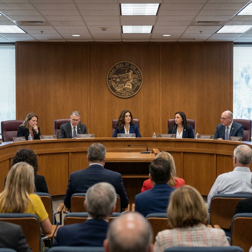
6) Revisions and final vote
The commission revises and ultimately approves a final map, usually by majority vote and sometimes with special supermajority requirements or cross-party vote thresholds.
Transparency that matters
If you want to know whether a commission is genuinely independent, look for the unglamorous details. The boring parts are where accountability hides.
- Open meetings: are deliberations public, recorded, and archived?
- Data disclosure: what datasets and software are used, and can the public inspect them?
- Communication limits: are commissioners restricted from private contact with politicians and consultants?
- Written findings: does the commission publish explanations of how criteria were applied?
- Public map tools: can residents draw and submit maps with accessible software?
When these features are strong, commissions tend to produce maps that are easier to defend and harder to manipulate. When they are weak, the commission can become a ceremonial mask placed over the same old appetite.
If maps get challenged
Commission maps can be challenged in court, just like legislature-drawn maps. Common legal claims include:
- Violation of the Voting Rights Act
- Violation of the state constitution, such as anti-gerrymandering provisions
- Claims about equal population or procedural violations
If a court finds the map unlawful, outcomes vary by state and case:
- The commission may be ordered to redraw the map
- A court may impose its own map if deadlines loom
- A special master may be appointed to propose a remedial map
Deadlines matter because election calendars do not pause for philosophical debates. Ballots get printed. Candidates file. The machine keeps turning.
Do they stop gerrymandering?
They can reduce it, but they do not abolish it by decree.
Commissions tend to help when:
- Selection rules truly limit partisan capture
- Criteria prioritize communities and fairness over incumbent protection
- Transparency makes manipulation difficult
- Courts enforce standards when lines cross them
But commissions can still be pressured. They can still make controversial tradeoffs. And even a sincerely neutral process can produce maps that look partisan if one party’s voters are geographically concentrated. Cities are dense. Rural areas are vast. Geography itself is a trickster.
Think of it less as a cure and more as a structural antidote: it reduces the dose of self-interest that can be poured into the map.
Key terms
- Redistricting: redrawing boundaries for voting districts, usually after the census
- Gerrymandering: drawing districts to advantage a party or group, often through packing and cracking
- Community of interest: a population that shares common ties and benefits from being kept in the same district
- Contiguous: all parts of a district connect
- Compact: districts are reasonably shaped, not stretched into strange forms for strategic gain
- Section 2 of the Voting Rights Act: federal protection against voting practices, including district maps, that unlawfully dilute minority voting strength
How to participate
You do not need a law degree to show up. You need attention, a little patience, and the willingness to describe your community like it matters, because it does.
- Watch the schedule: commission websites post hearing calendars and draft releases
- Submit testimony: explain which boundaries hold your community together and why
- Bring specifics: neighborhood names, school districts, commute corridors, shared industries, cultural hubs
- Submit a map if tools are available: even a rough proposal can shape revisions
- Read the criteria: frame your argument in the language the commission must follow
In myth, mortals who speak up to the gods often get punished. In democracy, speaking up is the point. Commissions are one of the few places where the public can look directly at the lines that shape representation and say, calmly but firmly, not like that.
Bottom line
Independent redistricting commissions work by shifting map drawing from self-interested lawmakers to a structured public process: screened or balanced membership, clear legal criteria, open meetings, and documented decision-making.
They are not flawless. But when designed well, they replace secrecy with sunlight, and that alone changes the story. Not into a fairy tale, but into something closer to a contract: we draw the lines where people live, not where power wants to hide.